
Whitley Pike - Northumberland Walk
Tuesday 18th October 2022
Today was forecast to be the one good day of the three we had available for walking so we opted for a walk that was close to where we were stopping that would allow us to cover a section of the Pennine Way we hadn't done before. The most awkward thing about planning this walk was working out where we could leave the car, thank goodness for Google Earth which allowed us to identify one of the very few parking spots in this area.
Start: Lay-by on unnamed road (NY 8197 8811)
Route: Lay-by at Sundaysight junction - Meg's Moss - Pennine Way - Millstone Edge - Whitley Pike - Gunstone - Sundaysight - Lay-by at Sundaysight junction
Distance: 7.5 miles Ascent: 211 metres Time Taken: 4 hrs 30 mins
Terrain: Clear paths and tracks.
Weather: Sunny and warm
Pub Visited: The Cheviot Hotel, Bellingham Ale Drunk: Hadrian Border Brewery, Secret Kingdom
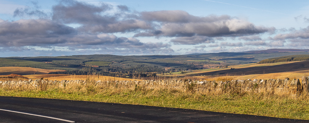
From our parking spot we had a great view of Kielder Forest with Deadwater Fell to the right.
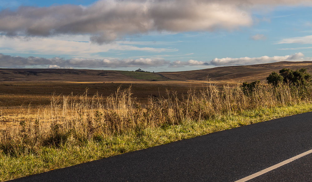
The walk started with a section of road walking, along a fairly quiet road, where we could take in some of the route we would be following. Here looking across to Hareshaw Head and the ridge we would eventally walk along.
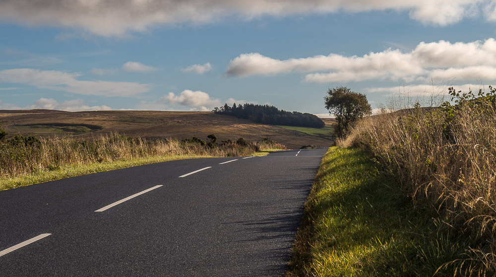
First we had to join the Pennine Way and in order to reduce the amount of road walking we would head across to the wooded area around Hareshaw House.
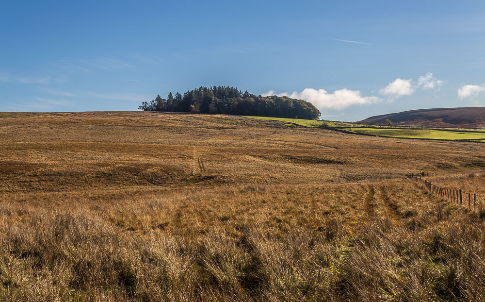
The route from the road across Meg's Moss to the Pennine Way was nice and clear
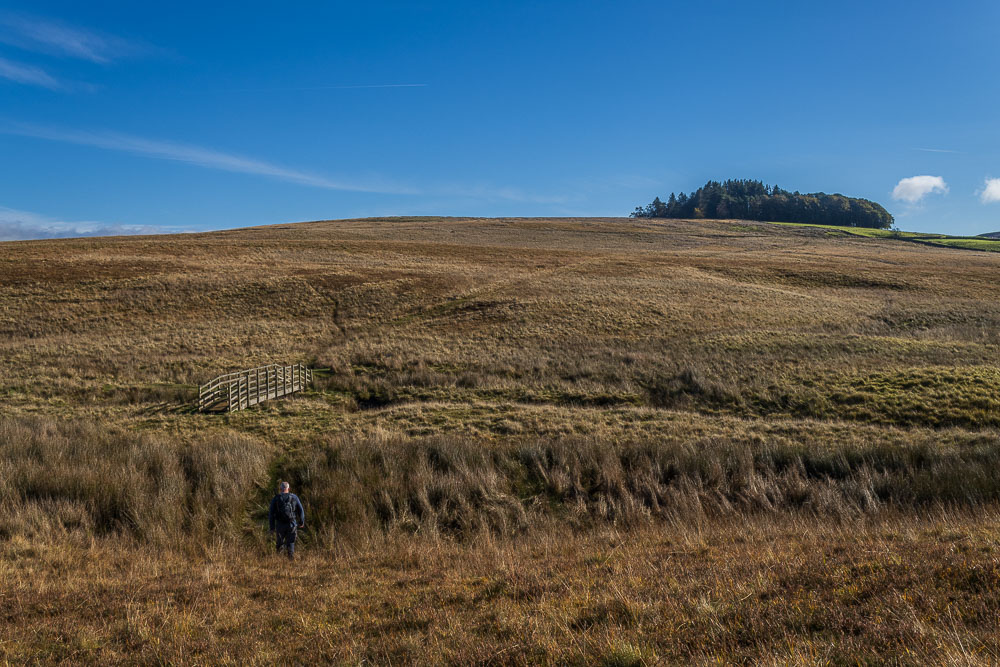
Whilst there was a bridge across Brockley Burn getting to it proved the trickiest job of the day and involved a fair bit of bog-hopping.
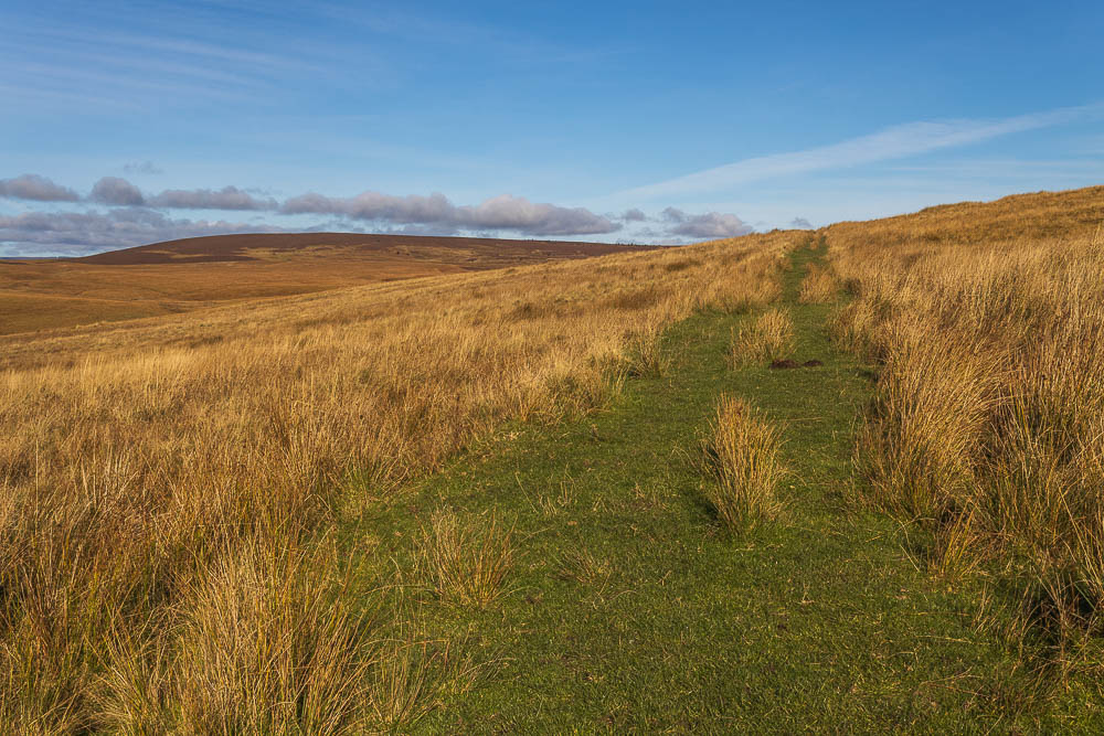
Having made it across Meg's Moss we joined the clear track that was the Pennine Way.
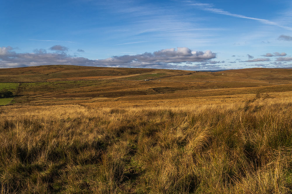
Having joined the Pennine Way we could look back across Meg's Moss to Midhopelaw Pike, the location of a trig point that went unbagged.
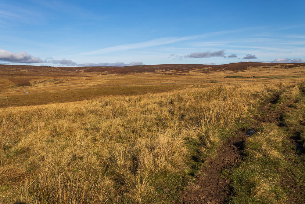
From here we could see the route down to the road and up onto the top of Millstone Edge.
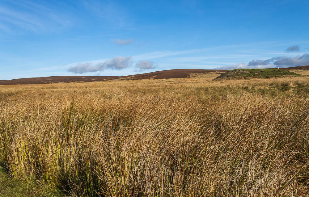
Having crossed the road a broad track looks quite inviting but it is heading in the wrong direction, our route heads across the moor to Millstone Edge. Thankfully the streams we had to cross were usually made easier by several well placed planks of wood.
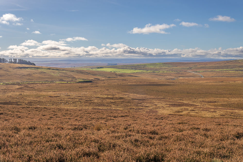
As we climb the views south stretch beyond Bellingham, Ealinghamrigg Common and the line of Hadrian's Wall.
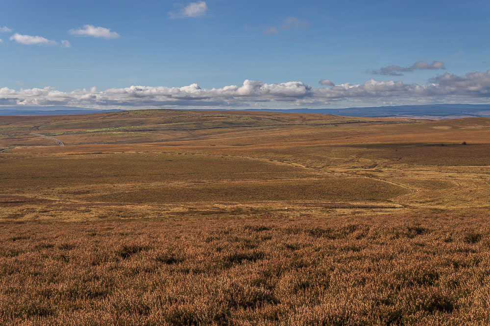
Looking across Hareshaw Common with Kielder Forest also visible.
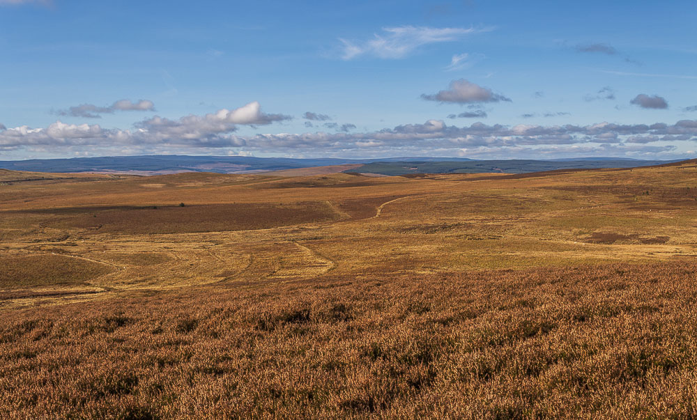
Below us the clear track, we intially thought we would be following, can be seen in the bottom of Sandysike Rigg heading towards Blackmoor Skirt.

Our route follows a narrower, but clear track, through the heather up towards the top of the ridge.
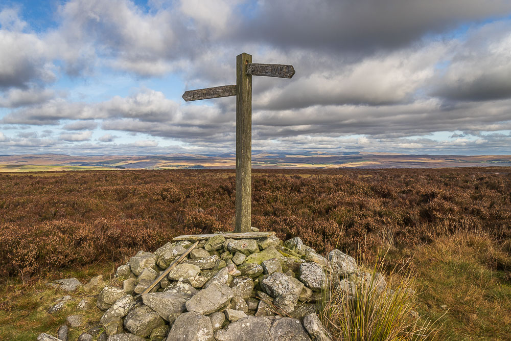
We know we have reached the top of the edge when we reach the Pennine Way signpost.
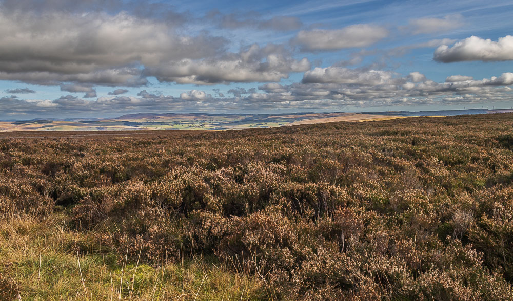
Once we hit the top of the ridge we were able to take in the long distance views.
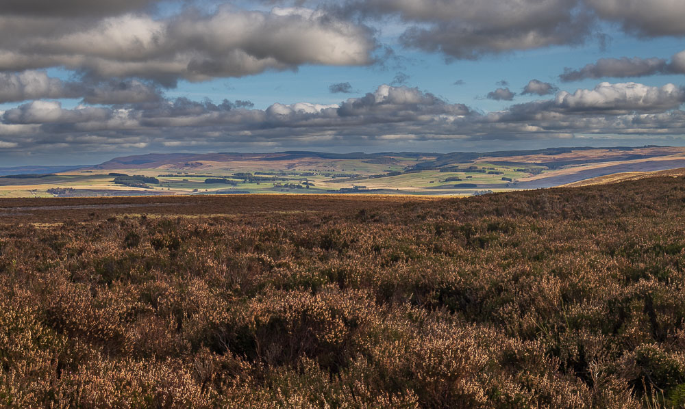
Looking north east the view extends as far as the Simonside Hills.
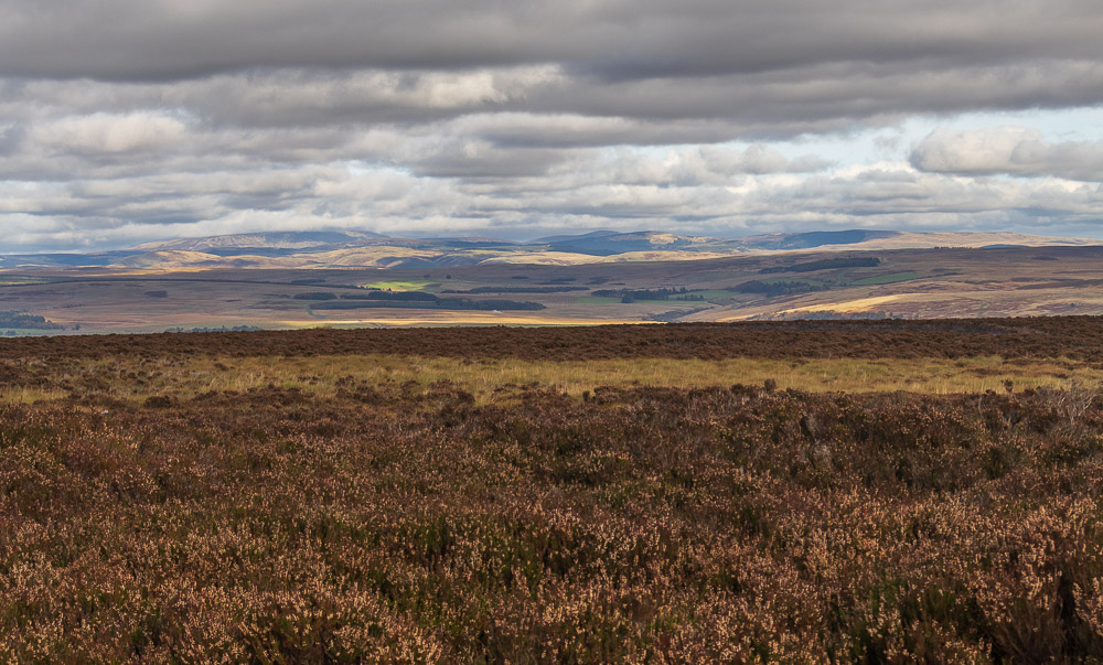
Looking north the top of The Cheviot is lost in the cloud.
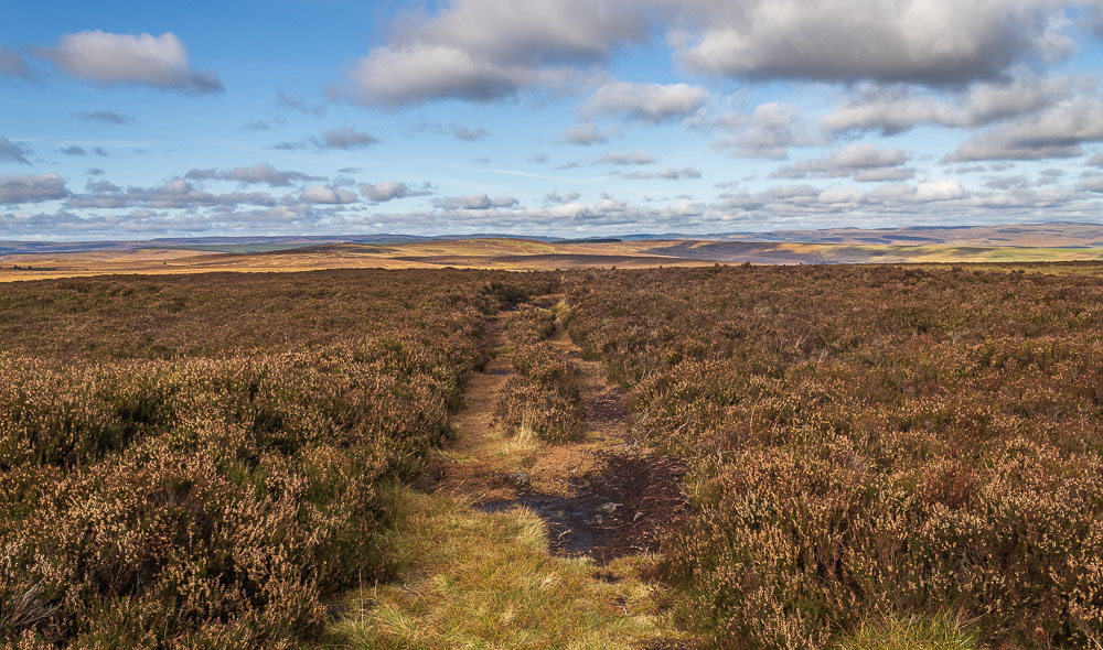
Our route takes us along the ridge towards Whitley Pike and Padon Hill.
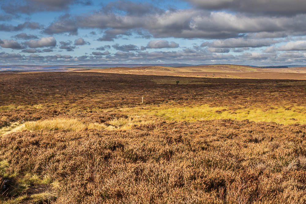
We soon drop back down with the route taking us across the moor to Whitley Pike, the hill to the left of the three in the middle distance.

As we walk across the moor we now find ourselves walking by random trees, although none of these had decorations on, unlike some I've seen in the Lake District.

As we get nearer to Whitley Pike the monument on Padon Hill begins to stand out.
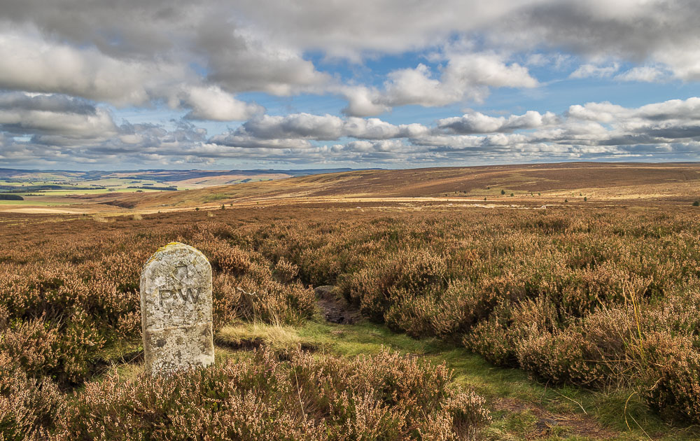
We soon reach Whitley Pike, here looking back towards Millstone Edge with the Simonside Hills in the distance.
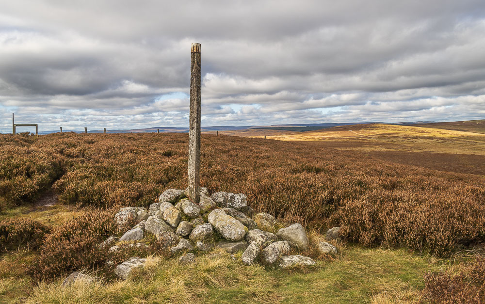
Thankfully the area around Whitley Pike is relatively dry and so we take the opportunity to stop for something to eat.
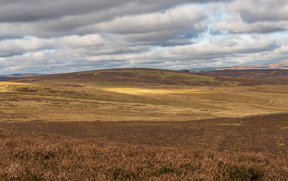
Sat here Padon Hill looks so close, but common sense prevails and we decide to leave it for another day.
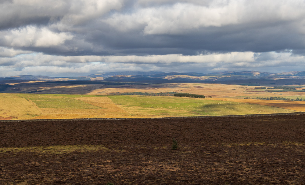
Although the cloud lifted slightly whilst we sat eating our lunch it never quite cleared the top of The Cheviot.
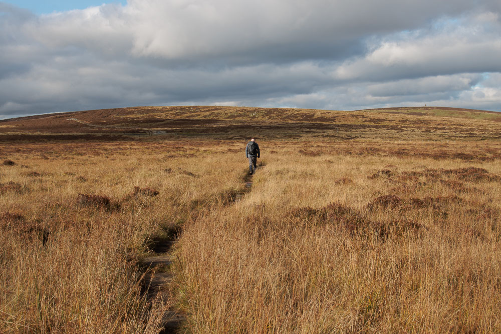
Having crossed the fence at the top of Whitley Pike we soon find ourselves on the flagged path which will take us to the road at Gunstone.
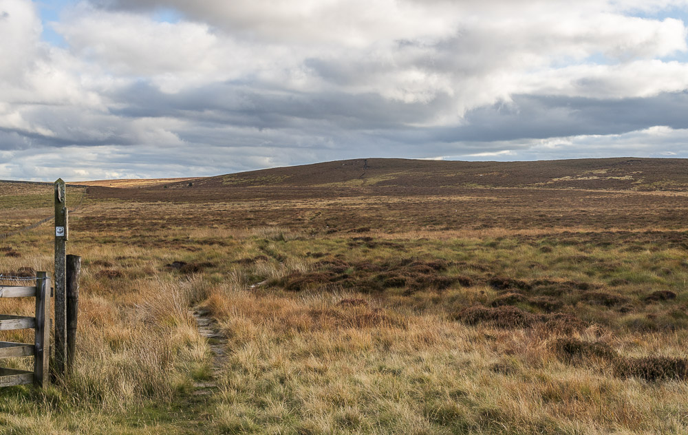
A final look back at Whitley Pike as we reach the road.
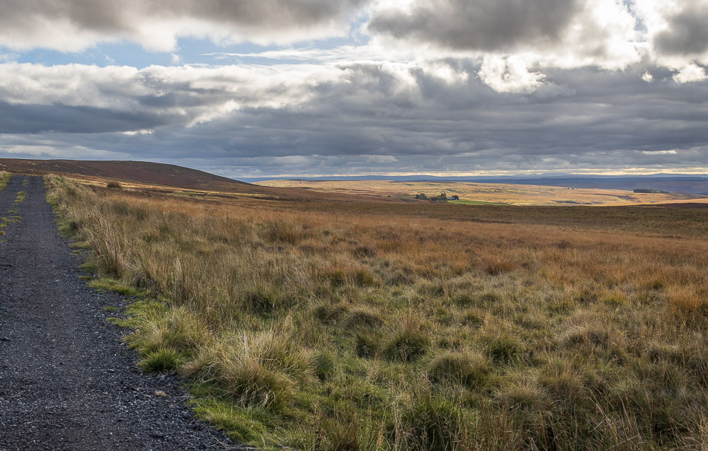
A short stretch of road walking takes us to the track we will follow down to Sundaysight, which is visible in the group of trees below.
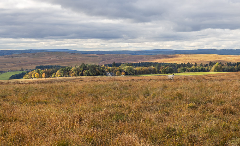
Closer to us the sun lights up the trees surrounding Highgreen Manor.
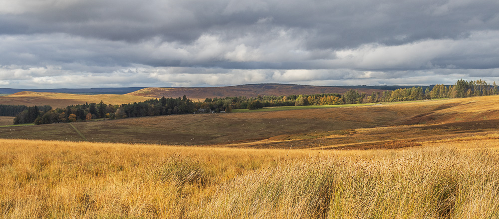
Beyond Highgreen Manor Belling Rigg and Heslop Crag are also being illuminated by the sun.
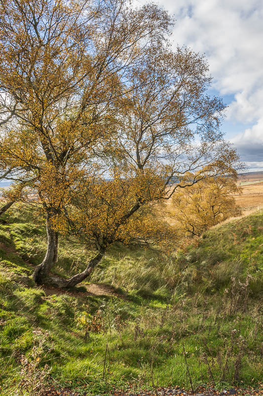
Looking down Sundaysight Cleugh we could neither see nor hear
the waterfalls that are meant to be located here.
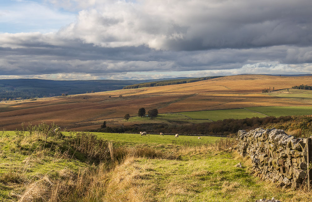
Looking across to Belling Rigg and the track we walked down last year.
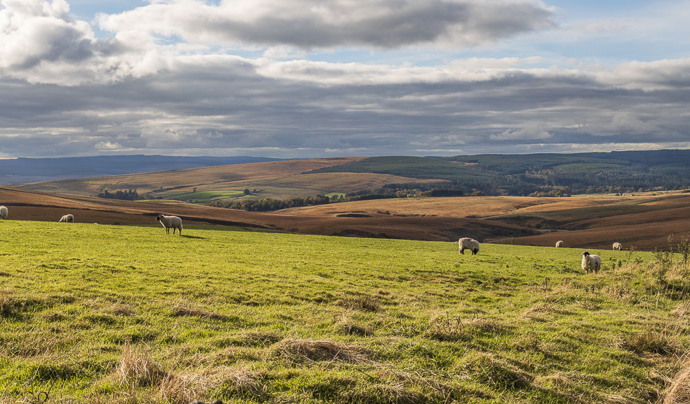
Looking across the valley we can also see Thorneyburn Fell. The cottage we are stopping in is located the other side of the fell.
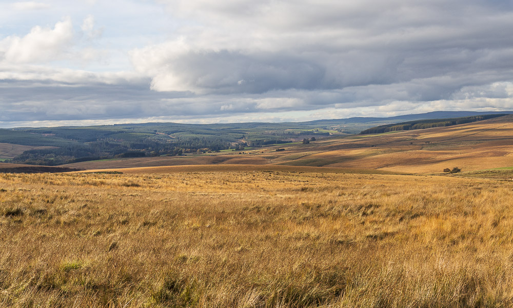
Having passed through Sundaysight the track starts to climb up towards the road where our car is located and we are once again rewarded with a view across Kielder Forest to the distant Deadwater Fell.
All pictures copyright © Peak Walker 2006-2023